The Milk District is a 212-acre city neighborhood east of downtown in ZIP 32803, with 609 home addresses and Orlando Festival Park inside it.
Last checked Oct. 9, 2026. Sources: the City of Orlando’s neighborhood boundaries, address points, parks, bike facilities and Main Street districts open data, Orange County Public Schools’ Find My School zones for 2026-27, the Florida Department of Education’s 2026 school grades, Zillow Research, LYNX, SunRail and OpenStreetMap.
The Milk District is a neighborhood of about 212 acres east of downtown, on the City of Orlando’s map: from Bumby Avenue east to about Crystal Lake Drive, with Robinson Street at its north end. The city’s address data lists 609 residential addresses: 328 single-family homes, 217 multifamily buildings, 51 condominium addresses and 13 apartment buildings. The streets with the most of them are Washington Street, Kilgore Street, Jefferson Street, Central Boulevard, Pine Street, Church Street and Jackson Street.
What this means for you
- High school: Edgewater High, graded B by Florida for 2026 (A in 2025).
- Home value: $469,267 in ZIP 32803 in August 2026, according to the Zillow Home Value Index.
- Nearest I-4 exit: Exit 84A/84B, Colonial Drive, about 3.2 miles by road.
Part of our Orlando neighborhoods guide.
Where it is
On the city’s map the Milk District borders Lawsona/Fern Creek to the west, Colonialtown South to the northwest, Colonial Town Center to the northeast, the Orlando Executive Airport area to the east, Lake Underhill to the southeast and Lake Como to the south.
The city’s Main Street program also has a business district called The Milk District. It straddles the neighborhood line: about 34% of its mapped area is in the Milk District neighborhood and about 45% in Colonial Town Center, the city’s Main Street layer shows.
ZIP code: 32803 for every residential address.
Schools
Every residential address in the neighborhood falls in these zones in Orange County Public Schools’ 2026-27 zone layer:
| Level | Zoned school | Florida grade, 2026 |
|---|---|---|
| Elementary and middle (K-8) | Lake Como School, 2450 E. Gore St. | B (A in 2025) |
| High | Edgewater High, 3100 Edgewater Drive | B (A in 2025) |
Grades are from the Florida Department of Education; each school name links to its state report card. Check any address with OCPS’s Find My School tool. More in our schools guide.
Home values
The typical home value in ZIP 32803 was $469,267 in August 2026, up 0.9% from $465,166 in August 2025, according to the Zillow Home Value Index. The index is a modeled typical value for the middle third of homes, single-family homes and condos together, not a sale price. It covers the whole ZIP code, which also takes in Audubon Park and most of Lake Eola Heights. Zillow’s figure for the city of Orlando was $371,120, down 1.4% on the year. More in our home prices guide.
Parks and trails
From the city’s parks data, inside the neighborhood:
- Orlando Festival Park, 2911 E. Robinson St., about 8 acres
- Orlando Skate Park, 400 Festival Way, about 5 acres
- Cherry Tree Park, 2725 E. Jackson St.
Colonel Joe Kittinger Park, 305 S. Crystal Lake Drive, is at the east edge. The city’s bike data maps about 0.8 miles of the Lake Underhill Trail in the neighborhood. More in our parks and trails guide.
Getting around
- Interstate: I-4 Exit 84A/84B, Colonial Drive, about 3.2 miles by road from the middle of the neighborhood. State Road 417 Exit 34, Colonial Drive, is about 7 miles.
- City Hall (400 S. Orange Ave.): about 2.1 miles.
- Airport: about 11 miles by road to Orlando International Airport.
- These are distances measured on the OpenStreetMap road network with the OSRM routing engine, not drive times.
- SunRail: Church Street and LYNX Central stations are each about 2.1 miles from the middle of the neighborhood in a straight line.
- Bus: LYNX’s current schedule data lists 18 stops in the neighborhood, served by Links 6, 13, 51 and 104. Times are on LYNX’s route pages.
More in our getting around guide.
Groceries and everyday stores
OpenStreetMap lists no supermarket or pharmacy inside the boundary. The nearest it maps, all on Colonial Drive, in a straight line from the middle of the neighborhood:
- Sprouts Farmers Market, 2530 E. Colonial Drive, about 0.6 miles
- Aldi, 3230 E. Colonial Drive, about 0.7 miles
- Walgreens, 2420 E. Colonial Drive, about 0.7 miles
- Publix, 1500 E. Colonial Drive, with a pharmacy, about 1.1 miles
How we drew this area
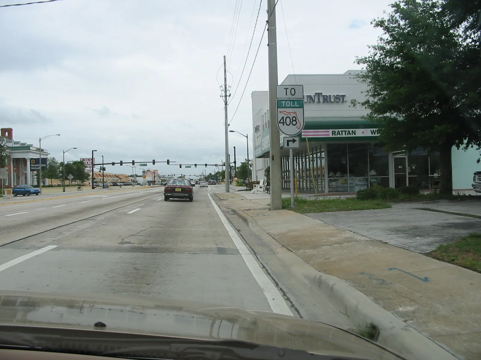
This page uses the Milk District polygon in the City of Orlando’s neighborhood layer. Address counts, ZIP codes and school zones come from the city’s issued residential address points matched to Orange County Public Schools’ 2026-27 zone layer on Oct. 9, 2026. An apartment building counts as one address. Store and road data © OpenStreetMap contributors. No Creative Commons photograph of the neighborhood itself was available, so this page uses a photo of the nearest main road junction.
Frequently asked questions
Where is the Milk District in Orlando?
East of downtown, from Bumby Avenue east to about Crystal Lake Drive, with Robinson Street at its north end, on the City of Orlando’s neighborhood map. Orlando Executive Airport is to the east.
What ZIP code is the Milk District?
32803, for every residential address. Zillow put the typical home value in that ZIP code at $469,267 in August 2026, up 0.9% on the year.
What schools serve the Milk District?
Lake Como School, a K-8 school, and Edgewater High School, in Orange County Public Schools’ 2026-27 zone layer. Florida graded both B for 2026.
Is the Milk District a good place to live?
Here are the facts. The Milk District is a 212-acre neighborhood with 609 residential addresses, about half of them single-family homes, three city park sites including Orlando Festival Park and the Orlando Skate Park, and four LYNX routes. Its zoned schools, Lake Como and Edgewater, were both graded B for 2026.
Have your say